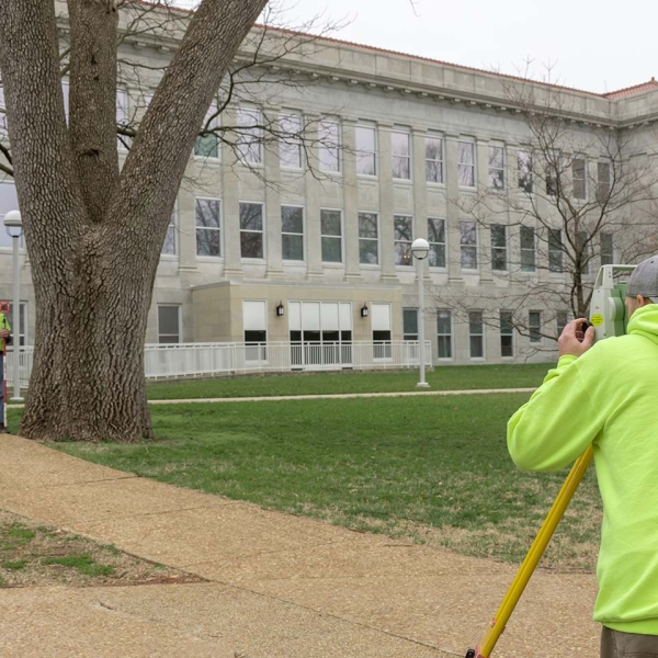
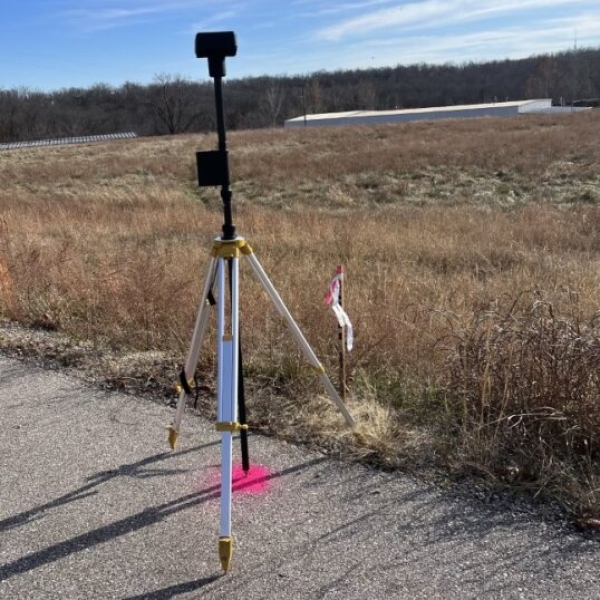
CJW offers the most comprehensive and cutting-edge surveying services to meet your needs. Our team has decades of experience in establishing property boundaries, completing topographic surveys, performing construction staking, and providing ALTA surveys. Our commitment to excellence is matched only by our dedication to leveraging the latest surveying technology, ensuring our clients receive the most accurate and complete information available.
At CJW, we pride ourselves on offering an array of services designed to meet your unique requirements:
ALTA / Boundary Surveys
When it comes to property transactions, clarity is paramount. Our meticulous ALTA and Boundary surveys not only define property lines but also delve into researching historical encumbrances that might impact your investment. Known for our ability to work within tight timeframes, we are adept at meeting closing dates and critical milestones, providing you with the utmost confidence in your property purchase. With CJW, your seamless transition to the next project phase is assured.
Topographic Surveys with Drone and Lidar Technology
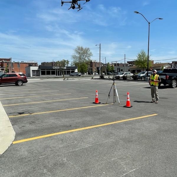
Revolutionizing contour data collection, our integration of Lidar technology with Drone capabilities has elevated surveying to new heights. This innovative approach enables us to gather a wealth of data swiftly and safely, significantly outpacing traditional methods. What once took days to complete can now be achieved in a matter of hours, all while maintaining exceptional accuracy. Our hybrid approach—combining drone technology with traditional surveying methods—ensures not only precise results but also the inclusion of essential features such as property corners, utilities, and underground stormwater features.
Construction Staking
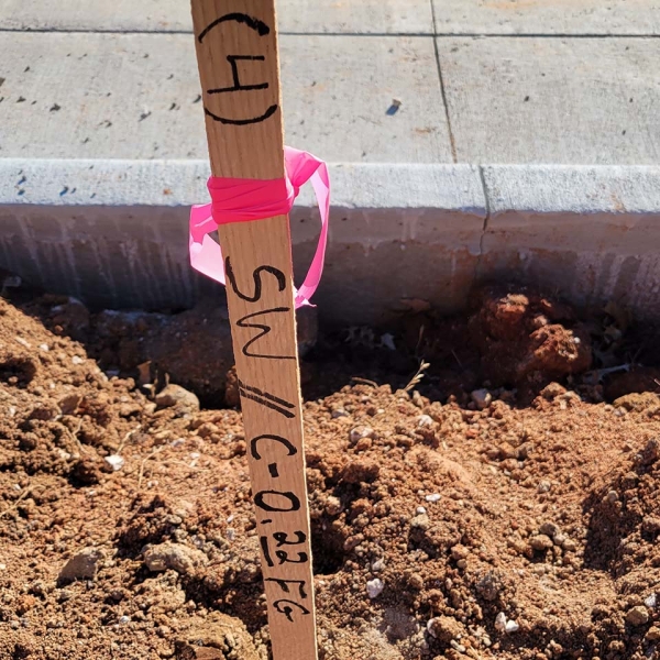
At CJW, we are the trusted partner for a diverse range of contractors across various construction sectors. Collaborating closely with designers and contractors, we pinpoint key project locations and provide essential staking support at critical construction junctures. Our aim is to eliminate downtime and keep projects on track, reflecting our unwavering commitment to project success.
Get in touch with our survey team today and discover how CJW can cater to your surveying needs with unmatched professionalism and expertise. Your vision is our priority, and we are here to ensure its realization.


